Showing posts with label revit levels. Show all posts
Revit Tip - Project Base Point and Survey Point Revisited

Revit Tip - Project Base Point and Survey Point Revisited


Over the years there have been posts on this blog that spark debate, opinions, and "face-palms".  The "Controlling Your Levels..." post I published back in May of 2015 is an example of a post that makes you think and rethink Revit's coordinate system.

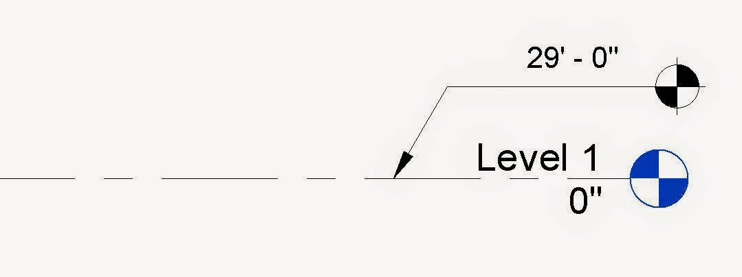
Well, an awesome reader named Ben Muller (@pix3lot) was wracking his brain (and the comments portion of the previously mentioned post) to understand fully every aspect of Revit's coordinate and level system.  As a result, Ben created a nice graphic that really helps to explain all of the different level and coordinate systems in play when using Revit.  Keep reading to view Ben's awesome image:


Click here to keep reading! »

Revit Tip - Controlling Your Levels: Project Base Point and Survey Point...


Here's the scenario.  You have a topographic survey completed in CAD by the surveyor.  Its a good file and you are able to import the CAD file and create Revit topography from the survey.  Nice!

Now, you want to model your building.  When you enter one of your elevation views you realize the topographic map is at 29'-0" and your Level 1 is at 0'-0".  Hmmm....  You want to model your building at the correct elevation (29'-0") but you want your wall sections, elevations, and details to read 0'-0" on your documents. Keep reading to find out how you can control what your Levels will show...

Click here to keep reading! »

Kategori

Kategori